Wake Up
 To The Truth
07 22 2010 - Death Trap Prison Barges for BP Spill" Workers
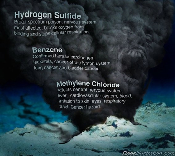
ToXiC AIr !!!
Gulf Update 07 21 2010 Fake Caps, Photos and More Leaks
Olympic Challenger UDH 30 CAM 7/21/10
MSV BSkandi Neptune -- ROV 2 Cam Footage 7/21/10
Wake Up
 To The Truth
BREAKING NEWS!!!! - BP caps DIFFERENT WELL--MORE LIES
WELL #A
Latitude 28.738132500000003
Longitude -88.36592777777777
WELL #B
Latitude 28.73778527777778
Longitude -88.36682805555554
check this out
Use the above decimal mapping coordinates on the live marine traffic map linked below (as you move the map around, the coordinates change). You will see where the ROVS are in relationship to the TWO well blowouts:
http://www.marinetraffic.com/ais/default.aspx?zoom=10&mmsi=636014465¢erx=-88.23762¢ery=28.56287#
It appears the SKANDI NEPTUNE, which has been showing images of the "new cap for the BOP" is at the location of the FIRST well that blew, and NOT the second well (that destroyed the rig).
Mindcrime

No comments:
Post a Comment